
Tracing first footsteps: Long before landmarks, there was water
While some cities in the world grow around roads, there are cities that grow around water. Hyderabad belongs to the second kind.
Long before any of its landmarks existed, and the glass buildings and traffic lights found their place on the city streets, there was a stretch of land and a river moving through it. That river was the Musi, and the city was Hyderabad, which, in many ways, grew out of its presence.
Modest beginnings
The Musi’s origins are humble but its impact on the life of Hyderabadis was impressive. It doesn’t start as a single stream or a grand river. Not at first.
Up in the Ananthagiri Hills near Vikarabad, two modest streams called the Musa and the Esi begin separately, move across rocky terrain, gather strength, and pick up rainwater along the way, while passing through villages and open fields.
The two streams meet, forming a confluence, quite unremarkable to look at. This spot, where one stream flows seamlessly into another, is where Bapu Ghat – the State memorial for Mahatma Gandhi – was eventually built. From that meeting point, the streams become the Musi. And from there, its story gets harder to separate from Hyderabad’s.
Why the city grew here
By the late 16th century, Golconda was straining at the edges. The fortress city had grown too congested for both its military and civilian populations, and the Qutb Shahi rulers needed somewhere new. So, when Muhammad Quli Qutb Shah founded Hyderabad in 1591, his choice of location was not arbitrary. He settled on the southern bank of this river – on the trade route between Surat and Machilipatnam, where goods, merchants, and armies all moved.
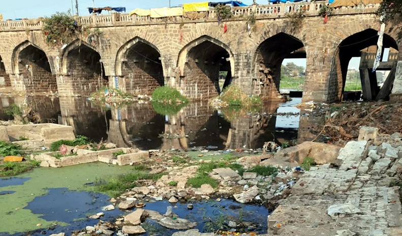
A bridge was built across the river first. Puranapul, completed in 1578 with its 26 arches, connected the new settlement to the suburb of Karwan. Then came the Charminar in 1591, placed at the centre of a city planned in a grid pattern with wide roads radiating outward from the monument, palaces and administrative buildings arranged around it. Muhammad Quli Qutb Shah, the fifth sultan of Golconda, oversaw it all.
Giving a sense of direction
The Musi was central to this from the beginning. It offered water, yes, but it also offered a natural boundary, and a sense of direction. The river served as a defensive moat on one side and a water source on the other, with small check dams built to manage its flow, making it not only convenient but structural too. Without it, the city wouldn’t have been placed where it was, or shaped the way it was.
For nearly three centuries after that, the southern bank remained the seat of power. The old city, its bazaars, its mosques, its lanes – all of it grew on that side of the river. The northern bank stayed quieter and less settled. The Musi, in effect, was the city’s western boundary and its northern wall at the same time, and Hyderabad could not expand northward until new bridges were built in the late 19th century to finally cross it.
Bridges like Puranapul and Nayapul gradually brought the two – old city and new settlements – together, but the river stayed at the centre of it all. Built in 1562, the Tank Bund too became the most crucial link between the twin cities of Hyderabad and Secunderabad.
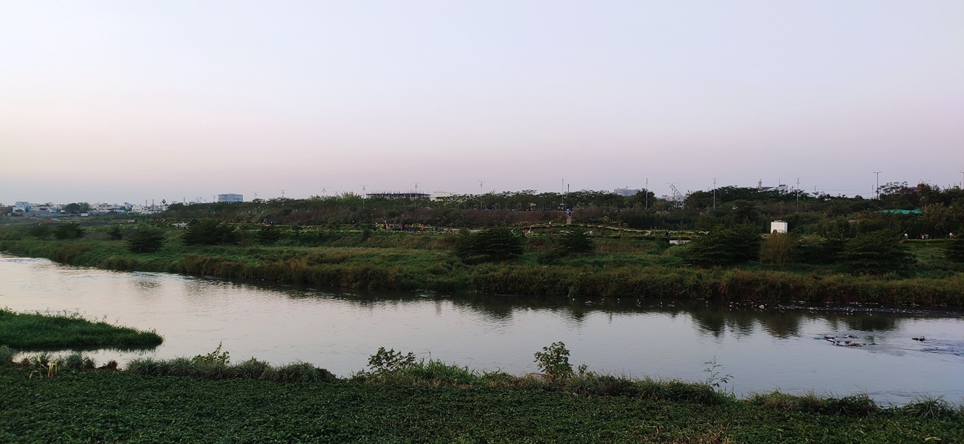
Life along its banks
Walk the riverbanks of old Hyderabad and you would have encountered almost every layer of the city’s life compressed into a single stretch.
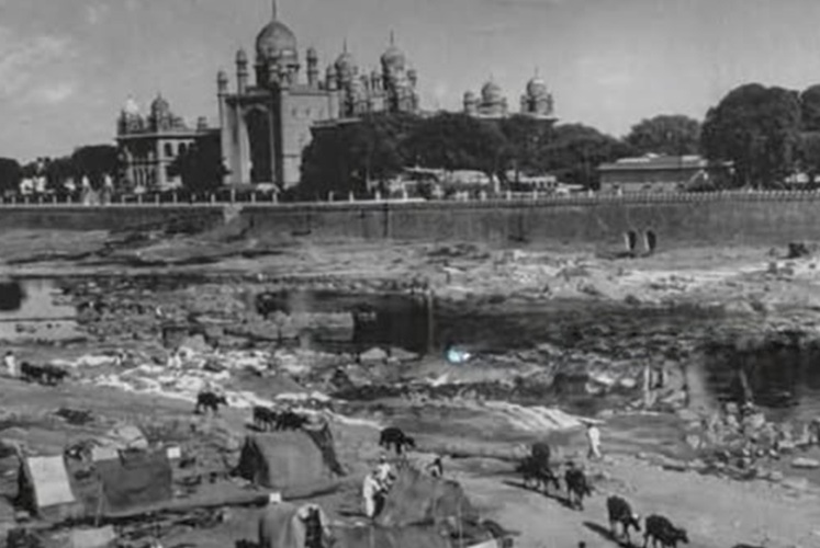
There were grand palaces facing the water. There were shamshan ghats (burial grounds) where last rites for the departed souls were performed, dhobi ghats where washermen and washerwomen laid out clothes on the rocks every morning. Temples such as the Chandulal Sivalayam at Puranapul, and the Kasi Bugga temple at Kishanbagh were constructed deliberately low and solid to survive the annual flooding.
But, wherever there was space, slums grew too.
A bygone era
Around 56 dhobi ghats lined the Musi through the city, used by the washerfolk community across generations.
Older members of the community remember a time when the water was clear enough to see through, when the river was a part of their daily working life.
Every Karthika Pournami, the full moon day of the Karthika month, families gathered at the sangam near Bapu Ghat at Langar Houz for prayers and ritual bathing. This tradition, stretched back to the Qutb Shahi period, continued until the 1950s, till the water became too polluted to enter.
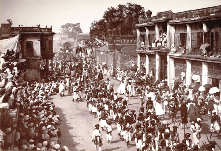
Muharram processions moved along the river’s banks each year. The Badshahi Ashur Khana, built by Muhammad Quli Qutb Shah in 1596, was the hosting ground for the Shia community’s 10 days of mourning. The river witnessed celebrations, grief, and routine in an equal measure, without distinguishing between them.
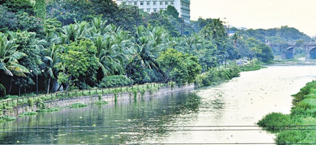
Sustaining the city for centuries
Today, it is easy to forget that Hyderabad did not begin with its monuments or its markets, but its story started with a river making space for a city to exist. The Musi was its starting point, its guide, and often, its witness. It held together trade and tradition, faith and livelihood, life and loss, all along its banks.
And as the city continues to grow, stretching further away from where it first began, the story of the Musi is a reminder that “Hyderabad was not built on land alone, but on the presence of water that sustained it and gave it direction, purpose, and identity”.